Reference


OpenAI's Answer
Surveyors played a pivotal role in resolving the long-standing boundary issues between North Carolina and South Carolina. Here are some key contributions they made:
-
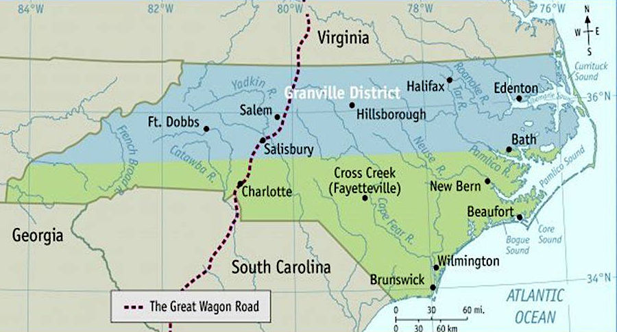
Historical Context and Error Correction: The boundary between the Carolinas had been ambiguous due to colonial-era surveying errors and a lack of precise records and technology. Surveyors were tasked with revisiting these historical surveys to correct the errors and clarify the boundaries source.
-
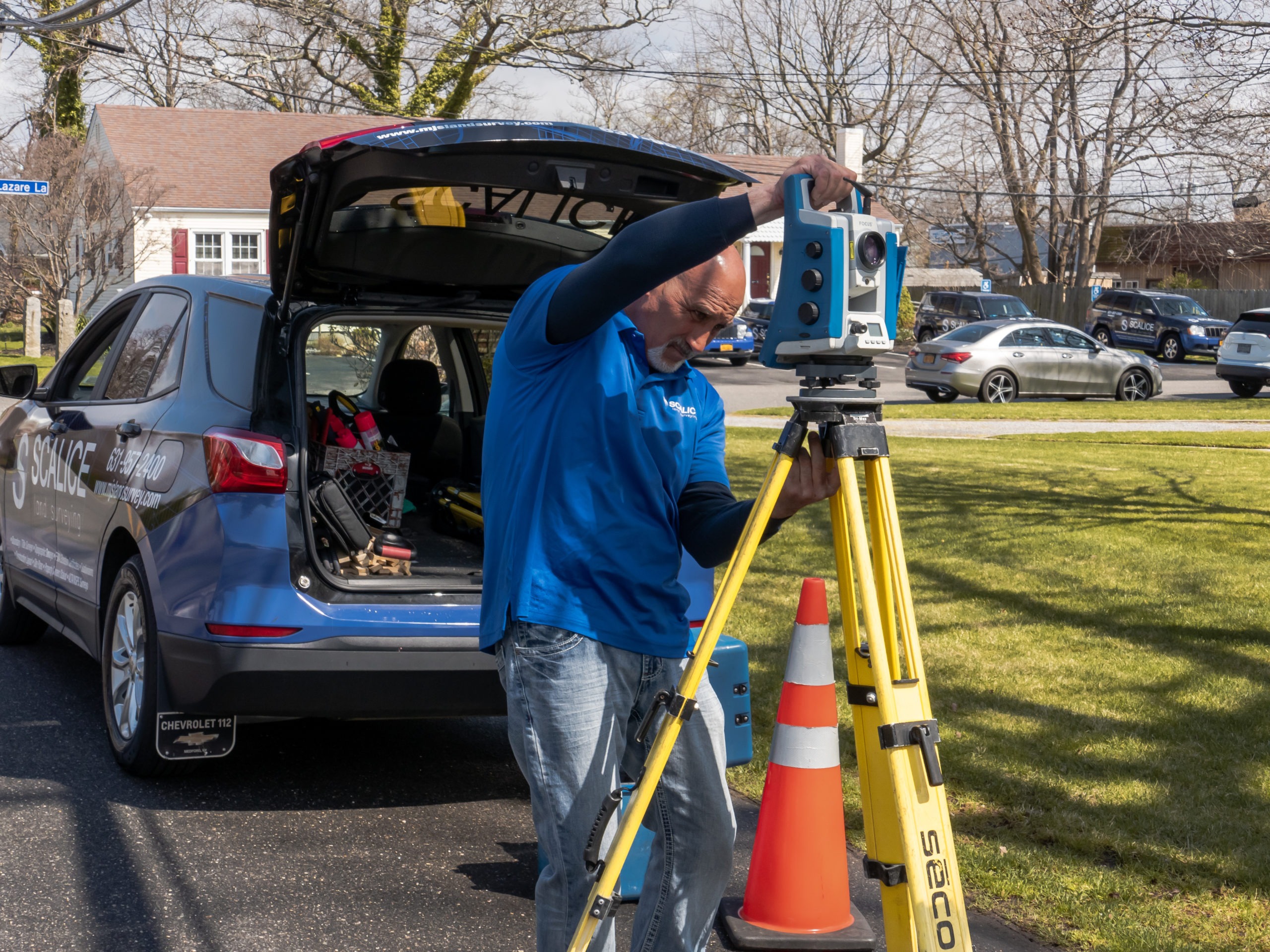
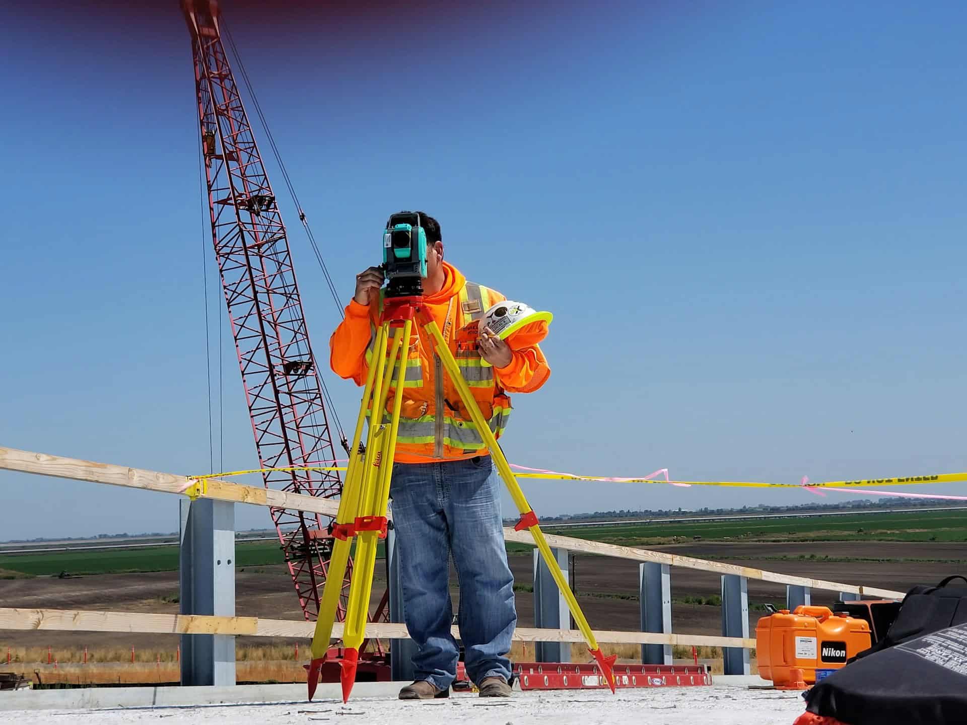
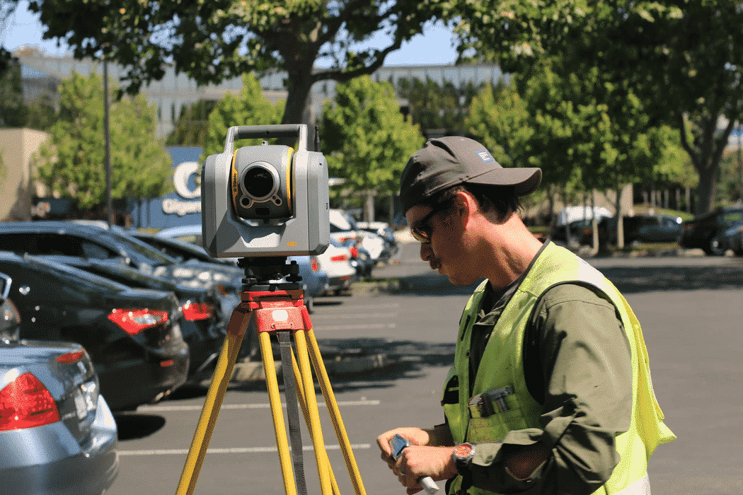
Use of Modern Technology: Surveyors employed advanced mapping technologies and techniques, such as GPS and Geographic Information Systems (GIS), to resurvey the boundary. This allowed for a more accurate and precise demarcation compared to the original survey source.
-
Legal and Jurisdictional Clarity: By providing precise measurements and clear documentation, surveyors helped settle legal disputes and jurisdictional issues. Their work ensured that the legally recognized boundaries were aligned with the historical agreements made between the states source.
-
Economic and Property Impact: The accurate surveys conducted by these professionals impacted homeowners and businesses along the boundary. By determining the exact state boundaries, surveyors helped resolve conflicts over property ownership and tax jurisdictions source.

Through their efforts, surveyors played an instrumental role in bringing clarity and resolution to the boundary issues between the Carolinas, ensuring both historical accuracy and modern legality.
Follow Up
Related
Why did the boundaries between North and South Carolina need clarification?
How did the boundary dispute between North and South Carolina evolve over time?
What resources or institutions were involved in documenting the history of the Carolinas' boundaries
How did the state boundaries between North and South Carolina get officially resolved?