Reference


OpenAI's Answer
The need to resurvey the border between North Carolina and South Carolina arose for several reasons, primarily related to historical inaccuracies and modern-day practicalities:
-
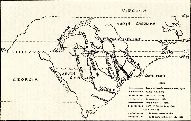
Colonial-Era Errors: The original surveys conducted during the colonial period contained numerous errors. For instance, surveys in 1735 and 1764 mistakenly placed the border miles south of the intended location. These inaccuracies resulted from the rudimentary surveying techniques and the challenging terrain surveyors had to navigate (source: NPR).
-
Technological Advances: Modern surveying technology, such as GPS, is far more accurate than techniques used in the 18th century. Using this technology allows for precise redefinition of the border, thus eliminating longstanding discrepancies (source: NCpedia).
-
Avoidance of Legal Disputes: By working together to resurvey the border, North and South Carolina aimed to prevent extensive and costly legal battles akin to disputes seen in other states, such as between South Carolina and Georgia (source: South Carolina Revenue and Fiscal Affairs Office).
-
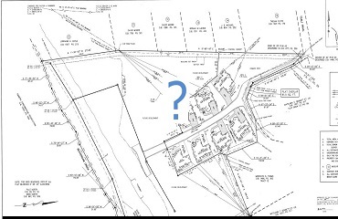
Property and Taxation Issues: Ambiguous borders can lead to confusion over land ownership, tax jurisdictions, and the provision of public services. Clarifying the border helps in resolving these administrative and governance issues, providing clear guidance for property owners and local governments (source: USFN).
Here are some visual insights into the historical and modern surveys:

Overall, resurveying the border provided necessary updates and clarity to address past mistakes and adapt to contemporary needs.
Follow Up
Related
What were some of the challenges faced in determining the precise border?
What financial and logistical hurdles delayed the completion of the border survey?
Which districts border the Sirajganj District to the north and south?
How did the new border determination impact businesses like the Lake Wylie Mini Market?