Reference


OpenAI's Answer
The deformation in the continental crust of Western Turkey is studied using a combination of geological, geophysical, and geodetic methods. Here are some key approaches:
-
Seismological Studies: Researchers use seismological data from earthquakes to understand faulting mechanisms and the nature of crustal deformation. This involves analyzing seismic waves to infer the structure and behavior of faults (source).
-
GPS Measurements: Permanent and campaign GPS stations are used to monitor crustal movements. These measurements help in estimating the rates of crustal deformation and understanding the kinematics of fault zones. GPS data indicates that the overall extension in westernmost Turkey is about 20 mm/yr, highlighting it as one of the fastest areas of continental extension (source).
-
Geological Mapping: Detailed geological mapping is conducted to identify and analyze faults, folds, and other geological structures at the surface. This helps in interpreting past tectonic events and the evolution of the region's tectonics (source).
-
Crustal Velocity Models: 3-D crustal velocity structures are derived from seismic data to visualize and understand the distribution and nature of crustal materials. These models are crucial for understanding the seismotectonics and geodynamics of the area (source).
-
Satellite Data: Advanced remote sensing techniques using satellite data allow for the observation and analysis of surface deformations associated with tectonic activities. This includes identifying how deformation is distributed across different parts of the crust (source).
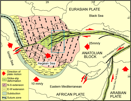
Western Turkey experiences significant crustal deformation due to its complex tectonic setting, characterized by both extensional and strike-slip faulting. The Anatolian Plate's westward motion and the interaction with the Aegean Sea region play a pivotal role (source).
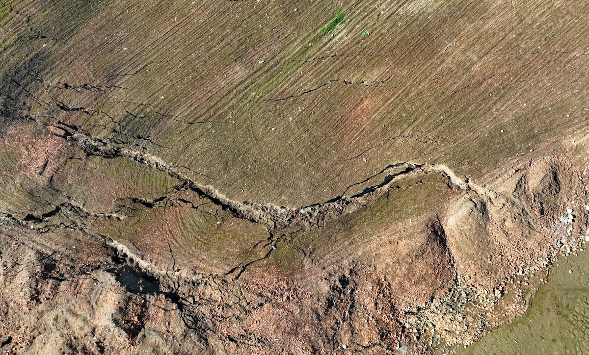
Here are a few relevant images depicting tectonic activity and research methods:
These varied approaches provide critical insights into the dynamic tectonics of Western Turkey, making it a significant area for geoscientific research.
Follow Up
Related
What role do continental crust permeability and geothermal data play in geothermal systems?
What is the significance of the African Continental Free Trade Area?
What are the major questions about deep continental structures according to G.J. MacDonald?
What are the key features of the Continental Shelf compared to the Abyssal Plain?

